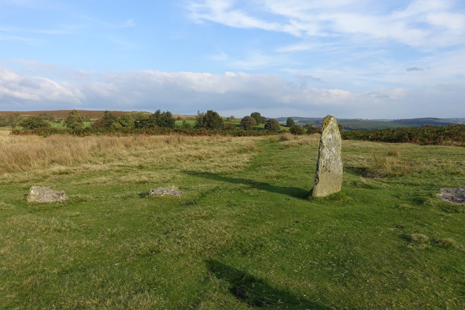
The dolerite stones are thought to have been brought from Stapeley Hill to the northwest and are of a uniform geology. The majority protrude above the turf to an average height of 0.4 m (1 ft. 4 in.); there are two recumbent stones; and three stones are appreciably taller than the rest with heights of 0.9 m (3 ft.), 1.4 m (4 ft. 6 in.) and 1.7 m (5 ft. 6 in.). Aerial photography shows that there is a central stone now hidden below ground. An outlying stone 0.7 m (2 ft 3 in.) in height stands on a small prominence to the southeast.


No comments:
Post a Comment